
MYTEK PROS / CONNECTED OPERATIONS
Livestock Location Awareness
Evaluate location awareness for appropriately fitted animal tags.
Plan your project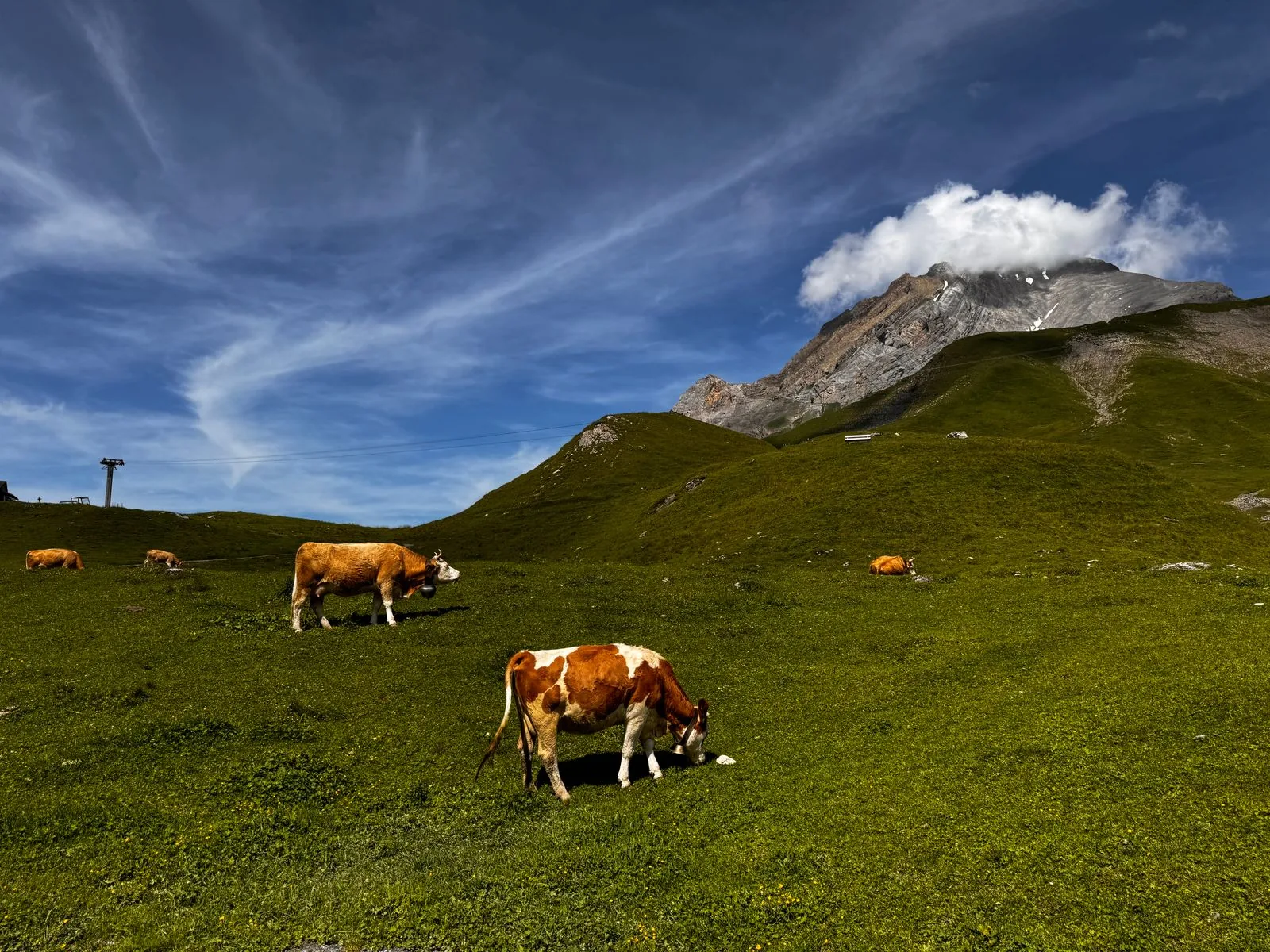
01 / THE OPPORTUNITY
Evaluate location awareness around animal care.
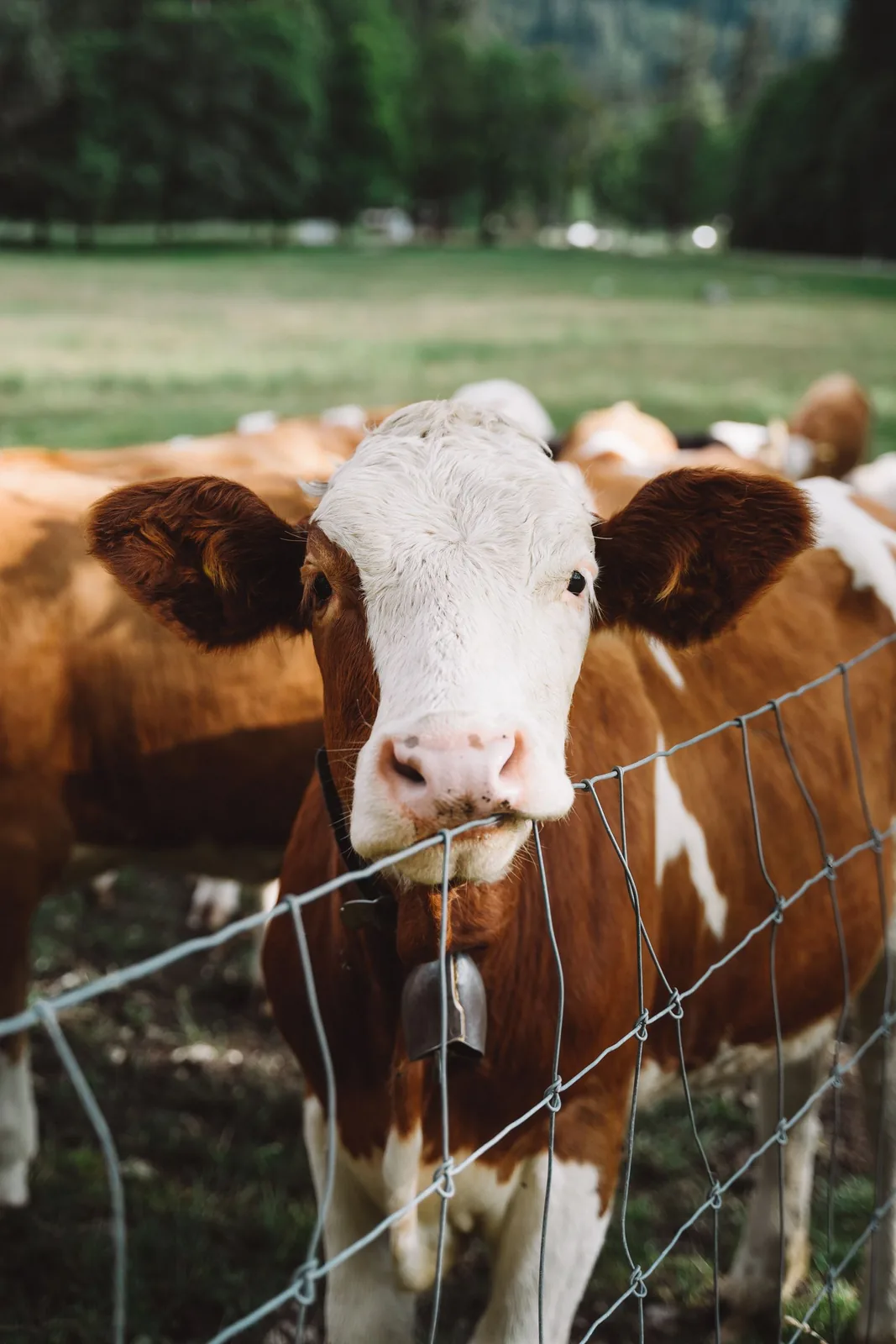
Livestock and agricultural-property operators
Animals in large or remote areas can be difficult to locate during routine checks.
Plan coverage, attachment, and reporting intervals with welfare in mind, then give staff a recent-location view and defined boundary-review workflow.
- Support routine locating
- Identify reported boundary crossings
- Make tag and coverage gaps visible
APPLICATIONS IN PRACTICE
Tags, coverage and responsible follow-up.
Illustrative scenarios for facilities teams and operators.
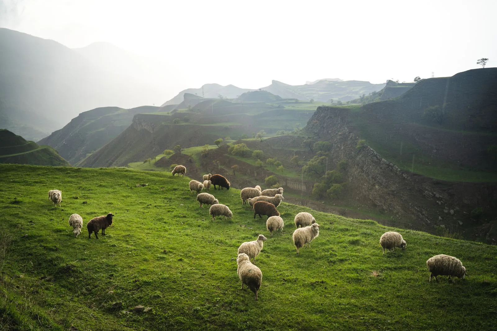
A farm wants recent locations for selected livestock.
ObserveCollect scheduled GNSS positions through a covered area.
ActUse recent position data to guide normal checks.
ReviewLast-seen map data and overdue reports.
A missing report does not establish that an animal has escaped.
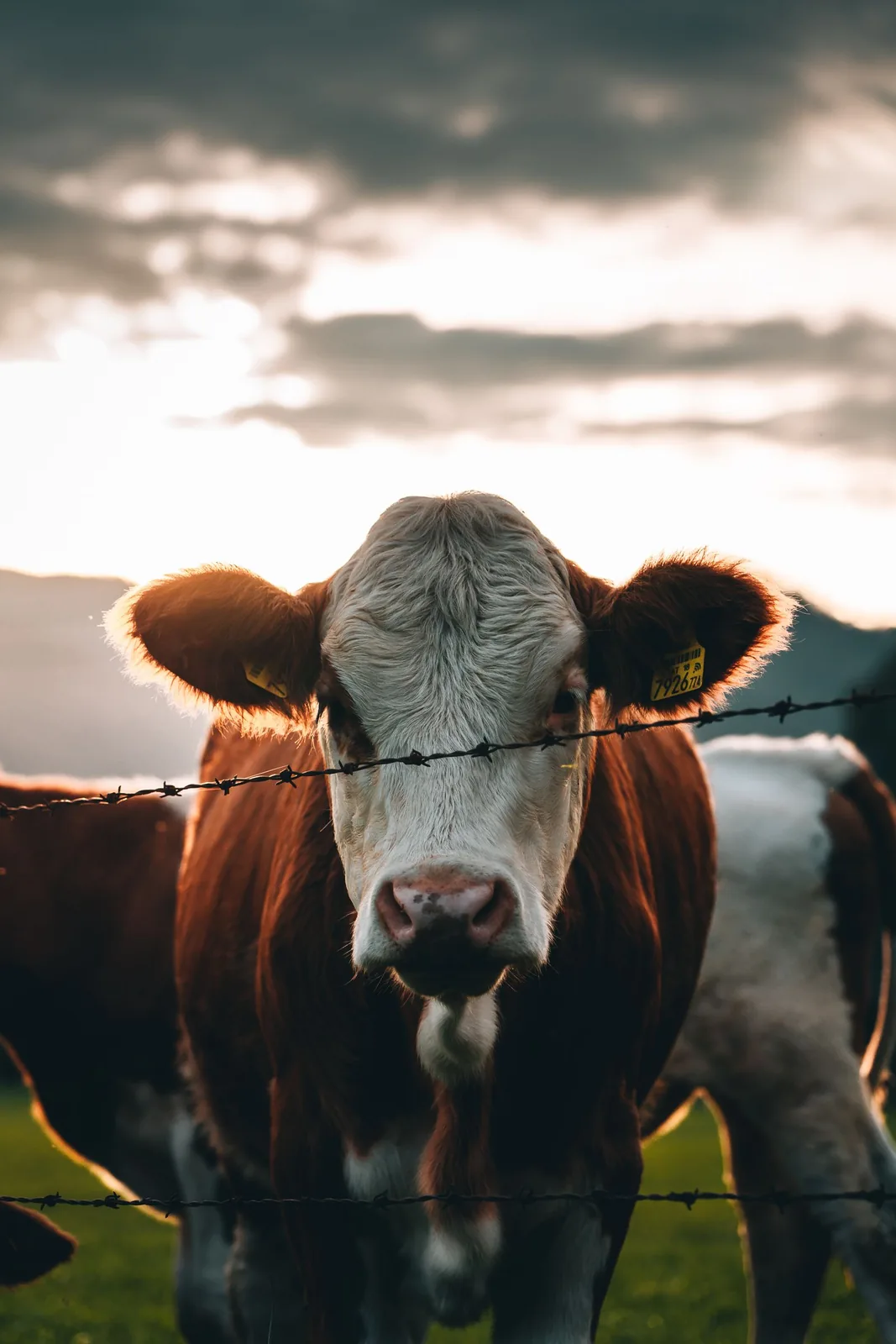
A ranch pilots boundary alerts.
ObserveCompare incoming positions with an agreed geofence.
ActAsk staff to verify reported exceptions.
ReviewBoundary-event history and verification outcomes.
GNSS error and delayed reporting can affect boundary decisions.
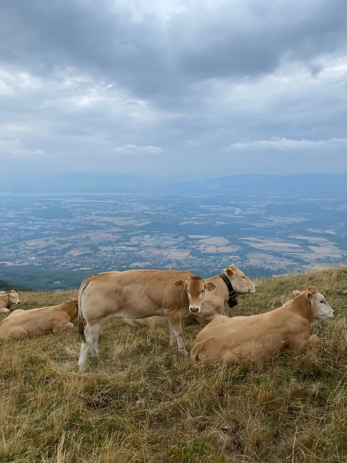
An agricultural site tests coverage before expanding.
ObserveReview signal quality, position fixes and report gaps across the test area.
ActAdjust gateways, mounting or reporting policy.
ReviewPilot coverage and battery-behavior report.
Do not promise broad-field coverage without a survey.
03 / FROM SIGNAL TO RESPONSE
From observation to action.
Define the signal, the connection and the person responsible for the next step.
View measurements & event details
- GNSS coordinates when available
- Supported movement, tilt and temperature readings
- Recent-report and device-health status
A DEFINED SERVICE SCOPE
What Mytek Pros can help deliver.
For livestock location projects in California, Mytek Pros can review tag attachment suitability, survey GNSS and radio coverage, and plan reporting intervals around battery use. Last-reported positions and reviewed geofence exceptions can support routine checks. Animal welfare assessment, site installation and support responsibilities are agreed during discovery.
Explore service planning for San Diego and California projects. Installation, handover and ongoing support are agreed during discovery for the selected equipment and site.
View planned service deliverables
- Species and attachment suitability review
- GNSS and radio coverage survey
- Position interval and battery planning
- Optional geofence and inspection workflow
THE RECORD YOU KEEP
Your reporting scope.
A configured Mytek Pros service can turn the selected measurements into:
- Last-reported location and age
- Location history at the configured reporting interval
- Boundary exceptions from configured geographic rules
Configurable project options; confirm scope during discovery.
04 / DISCOVERY & DESIGN
Before installation.
Confirm compatibility, placement and operating responsibilities for your site.
What we’ll work through
- This is not continuous GPS, animal-health diagnosis or theft prevention
- LoRaWAN coverage is required where reports are needed
- Attachment and device weight require appropriate welfare assessment
- Tag temperature is not automatically body temperature
Tell Mytek Pros about your site, existing systems, and the decisions you want the data to support.
Plan a livestock tag and coverage pilot ↗EXPLORE CONNECTED APPLICATIONS